Client: Centerra Gold/SRK/Golder Associates
Site: Kumtor Gold Mine
Project Duration: 2004-Present
Project Summary:
- Structural geology of the open pits and underground operations
- Tectonic and lithological core logging
- Structural evaluation of oriented geotechnical boreholes
- Construction and interpretation of structural sections and maps
- Correlation of boreholes with structural cross sections
- 3D sub-surface geological modelling of fault systems using Leapfrog and Gemcom software
- Assist with slope stability assessment and failure mechanisms (Open Pit and Underground)
- Correlation of structures with I-sight scanning software and integration of results with the structural model
- Delivery of an in-house structural geology course
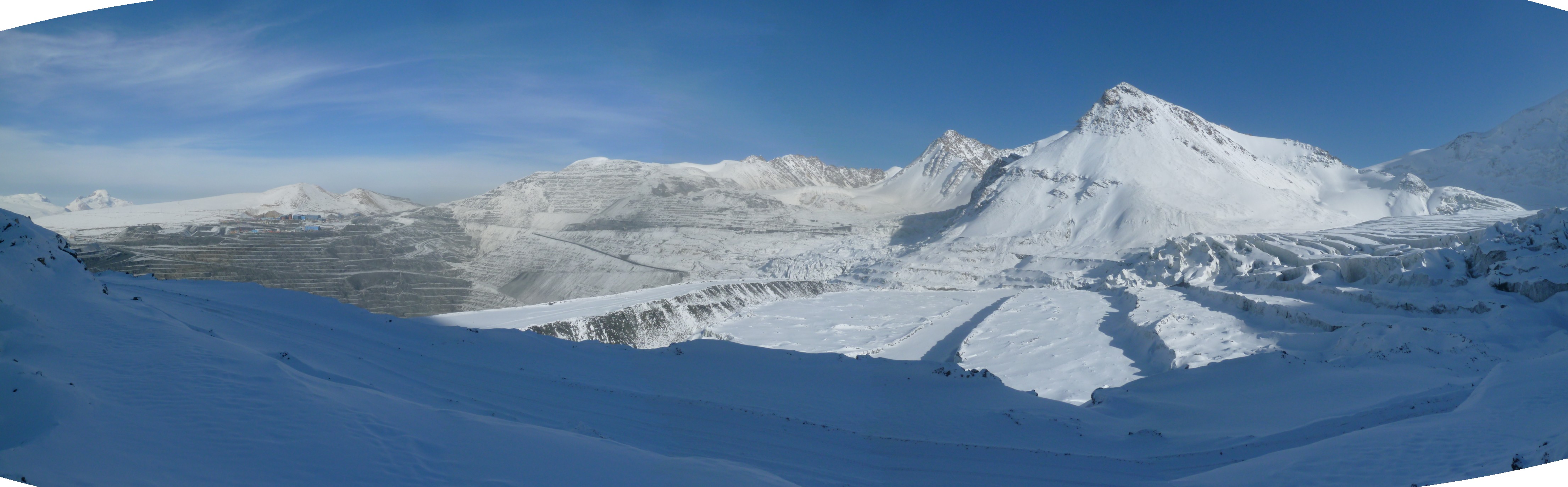
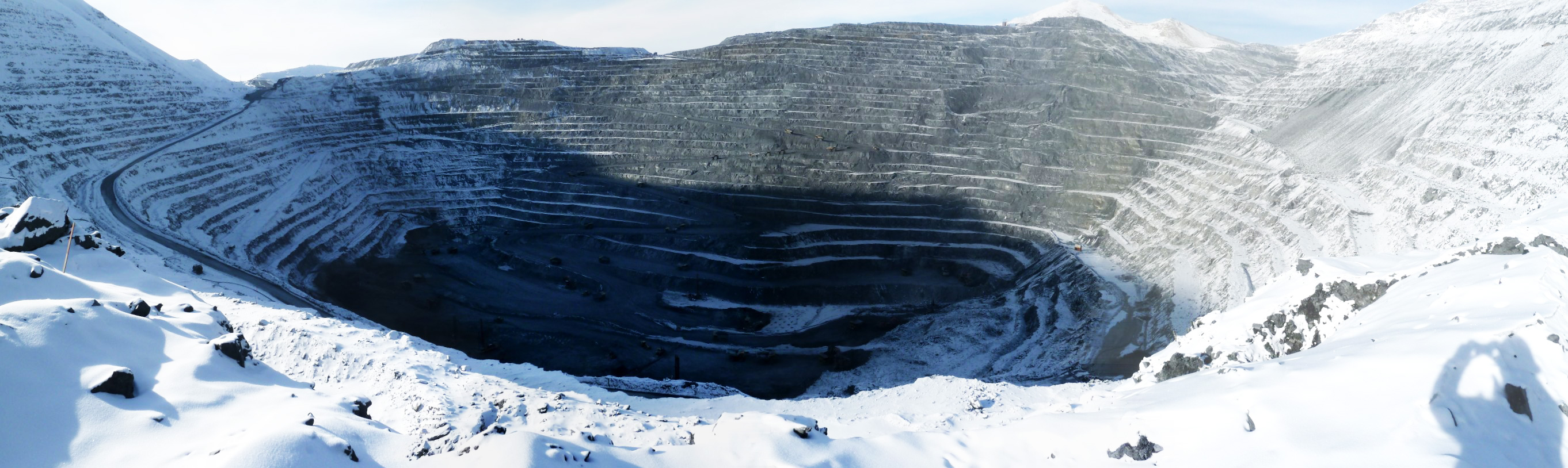
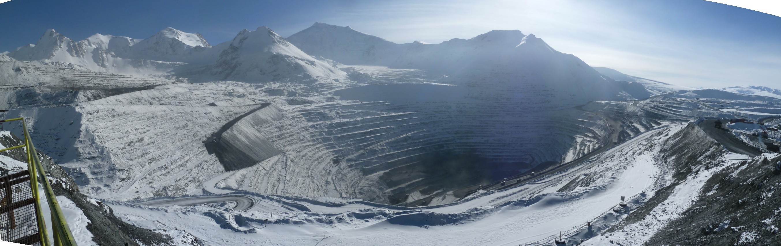
The Kumtor gold deposit is located in the southern Tien Shan Metallogenic Belt, a major suture that traverses Central Asia, from Uzbekistan in the west through Tajikistan and the Kyrgyz Republic into NW China, a distance of more than 1,500 kilometres. A number of important mesothermal-type gold deposits occur along this belt including Muruntau, Zarmitan, Jilau and Kumtor.
As well as understanding the geological evolution of the deposit it is also necessary to develop a structural model for the surrounding region. The Kumtor gold deposit is structurally complex having undergone four phases of tectonism culminating with the Himalayan deformation event. The resulting structures provide multiple surfaces for potential failure in and around the pit and it is therefore of paramount importance to understand these structures and their orientations in order to provide a template for stability analysis and mine planning.
Info Link